Researchers from the Geological Survey of Denmark and Greenland (GEUS) have completed successful field campaigns across the Greenland Ice Sheet as part of the LIQUIDICE project, strengthening the monitoring of ice-sheet processes in two key Greenland catchments: Kangerlussuaq and Ilulissat.
The work is closely linked to Greenland’s hydropower future. Five hydropower plants currently supply electricity to Greenland’s approximately 56,000 inhabitants, and LIQUIDICE focuses on the ice-sheet catchments that feed two important regions with potential for expanded and industrial-scale hydropower development.
New Instruments Installed in the Kangerlussuaq Catchment
In April, a Twin Otter aircraft campaign led by Anja Rutishauser visited the KAN_U and DYE-2 monitoring stations in the Kangerlussuaq catchment. During the campaign, the team installed new low-power multi-band GNSS antennas at both sites. These instruments will support future measurements of snow height and snow accumulation using GNSS reflectometry techniques developed through the open-source OGRE project.
At DYE-2, station engineer Henrik T. Jakobsgaard also installed a new Finapp cosmic-ray neutron sensor designed to measure snow water equivalent. To ensure year-round operation in the harsh Arctic environment, Henrik developed a dedicated power system consisting of a solar panel, wind turbine, and charge controller. Data from the station are transmitted directly to Copenhagen.
These observations will help researchers better understand how the higher-elevation, firn-covered parts of the catchment contribute to runoff. This is particularly important because meltwater can refreeze within the firn, but warming conditions are increasingly leading to the formation of impermeable ice slabs that alter the storage and release of water from the ice sheet.
Continuing a 30-Year Climate Record in Ilulissat
Later in the summer, GEUS researcher Rasmus Bahbah Nielsen and collaborator Dirk van As carried out a helicopter-based field campaign to the JAR and Swiss Camp stations near Ilulissat.
The team serviced the long-running weather stations, maintaining a unique climate data record that now spans more than three decades in the Ilulissat catchment. In addition, two new GNSS antennas and data loggers were installed to enable more precise monitoring of both snow accumulation and ice ablation.
“We had a very successful field campaign in Ilulissat, where we serviced our existing weather stations, JAR and Swiss Camp, continuing our 30-year-long climate data time series in the Ilulissat catchment,” said Rasmus Bahbah Nielsen. “We furthermore installed two GNSS antennas and loggers that make us able to monitor ablation and snow accumulation even more precisely, improving our ability to compute net surface ablation.”
Observing Exceptional Melt Conditions
The campaign also offered firsthand observations of the rapidly changing ice-sheet environment.
“On a personal note, it has been a very warm campaign, with temperatures above zero at our stations for multiple days in a row,” Rasmus noted. “The surface was dark and filled with supraglacial lakes and rivers, showing extensive melt, which really demonstrated how dynamic the Ilulissat catchment is.”
The new measurements collected through these campaigns will improve understanding of snow accumulation, melting, runoff generation, and ice-sheet surface processes. These observations are essential for predicting future water availability and assessing the long-term potential of hydropower resources fed by the Greenland Ice Sheet.
Through these efforts, LIQUIDICE continues to provide critical scientific knowledge on the evolving relationship between the Greenland Ice Sheet, freshwater resources, and sustainable energy development.
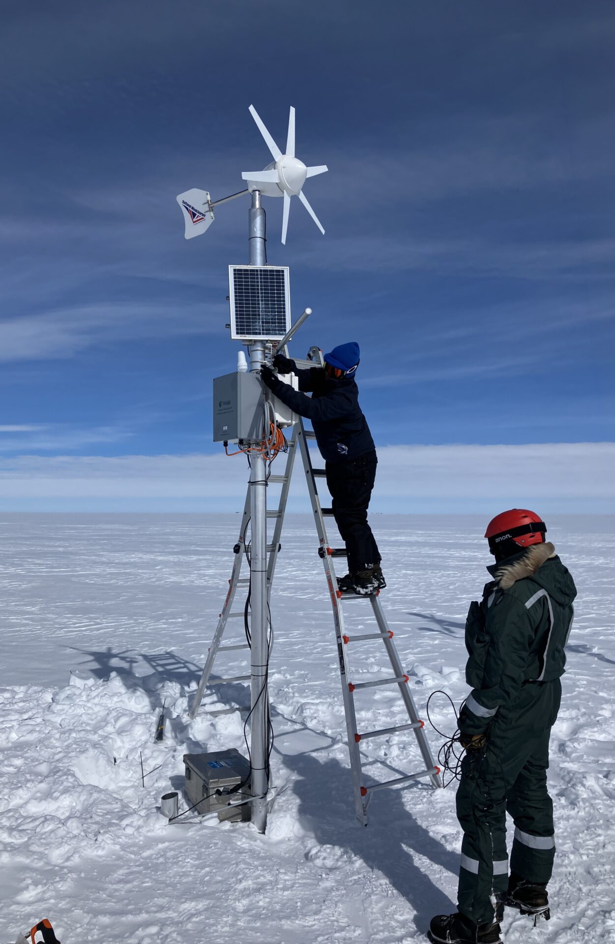
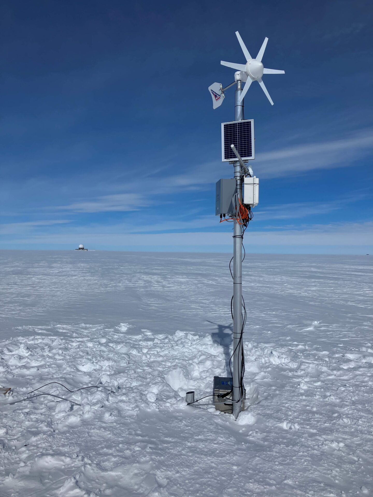
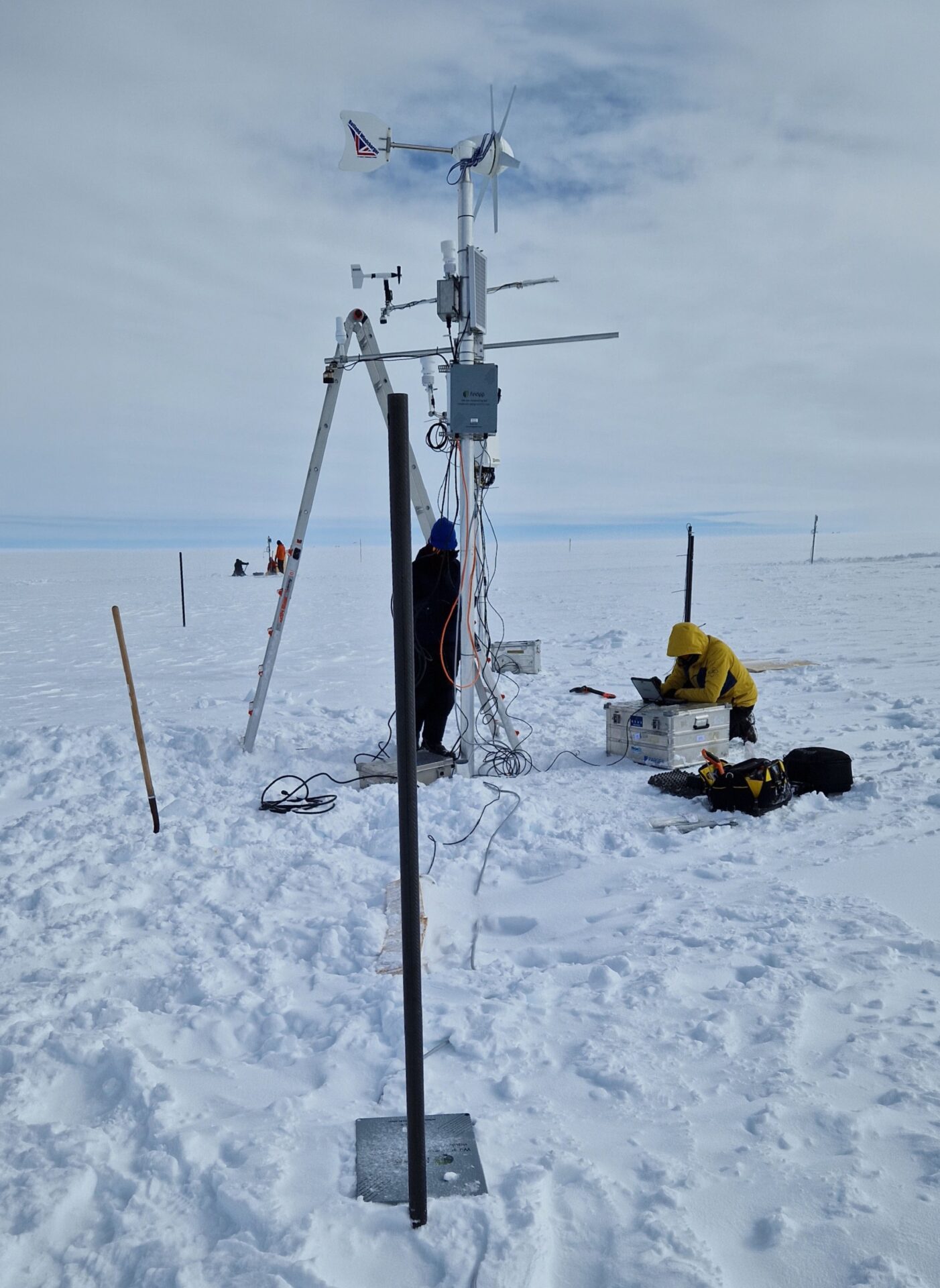
Photos from spring campaign in the Kangerlussuaq catchment by Baptiste Vandecrux, GEUS
Map animation with the location of new monitoring station in the Kangerlussuaq catchment by Baptiste Vandecrux, GEUS: